The post-tropical cyclone made landfall near Sambro Creek in Nova Scotia, Canada, at 7:15 p.m. Atlantic Standard Time on Saturday.
The storm’s estimated maximum sustained winds were 100 mph (155 km/h) when it made landfall 15 miles (25 km) south of Halifax, according to the National Hurricane Center. Dorian is moving northeast at 30 mph.
The storm is still dangerous with maximum sustained winds equivalent to a Category 2 hurricane. Hurricane warnings remain in effect for parts of Nova Scotia and Newfoundland, the center said.
The hurricane center transitioned the storm from a hurricane to a post-tropical cyclone earlier on Saturday. The loss of its hurricane status refers to the fact that it no longer has a warm core, CNN meteorologist Gene Norman explained, but Dorian is still a low-pressure system.
“While the change in classification is technical, the fact of the matter is it’s still a dangerous situation and people in the area should not let their guard down,” Norman said.
Kelly Henneberry, a resident of Eastern Passage, Nova Scotia, had her bags packed and ready to go in case of a mandatory evacuation order. As of Saturday afternoon, there was just a voluntary evacuation in place, she said, and some of her neighbors had started to leave.
For now, she and her three dogs are waiting.
“We’re nervous and keeping a close eye on things,” she said.
As of 8 p.m., Novia Scotia Power said 348,880 customers had lost electricity across Nova Scotia, reports CNN affiliate CBC. Most of the outages were caused by high winds that downed trees and heavy rain, something that’s expected to continue through the night, CBC reported.
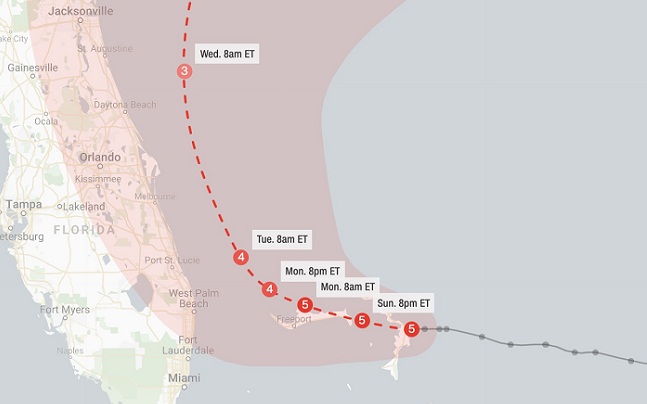
Dorian’s nearly two-week path has unleashed devastation in the Bahamas, where it flattened homes and swept away neighborhoods, leaving at least 43 people dead.
In the United States, several cities were cleaning up after it made landfall in Cape Hatteras, North Carolina, and brushed other East Coast states Friday. Five deaths have been blamed on the storm so far.
Risk of rip currents
The storm made one final US stop in southeastern Massachusetts on Saturday, unloading rain and tropical storm force winds.
The main concern in New England was the high surf advisories for people along the coast as the storms move out, Shackelford said.
“Some areas can see 18 to 20 feet breaking waves, so even the strongest swimmers are warned to be cautious of high waves. Swimmers are also advised to be cautious of rip currents, which can rapidly pull swimmers out to deeper waters,” CNN meteorologist Robert Shackelford said.
Widespread regions of the East Coast can expect wind gusts of up to 30 mph throughout the day Saturday, with some areas such as Nantucket potentially seeing wind gusts of between 58 mph and 73 mph, he added.
In addition to the winds, some areas along the coast will get drenched with up to three inches of rainfall throughout the day.
